I’ll try and keep this fairly short and to the point. I’ve been wanting to ride the CAMBA maintained Chequamegon National Forest trails for about nine months or so, and I finally got around to making the longish trip north on Thursday 25th June 2015.
DAY ONE
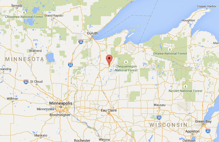
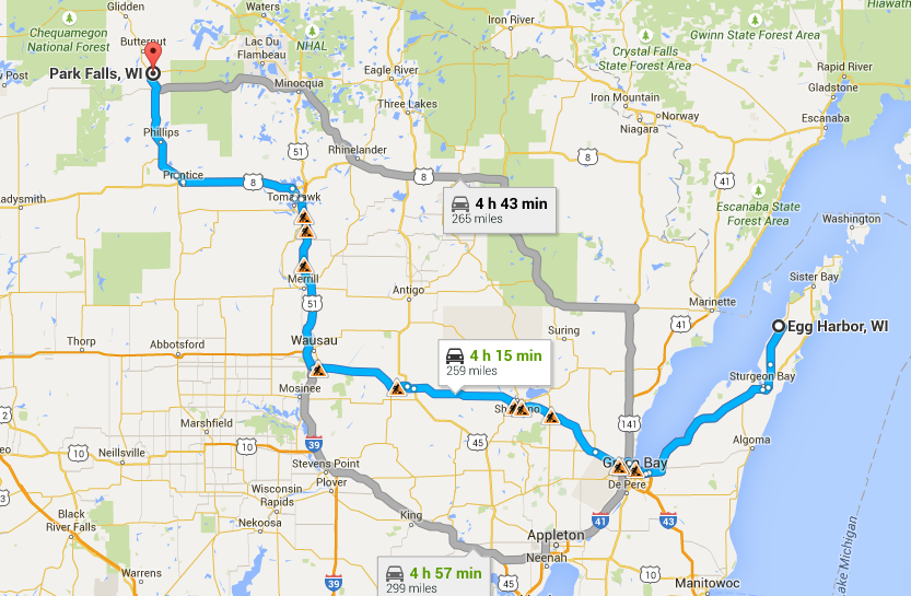
I set off on the 4 hour+ journey by car at around 8.45 am on Thursday, arriving at my destination in Park Falls WI at a little after 2pm. It was probably a mistake staying in Park Falls as it involved an hour by car to get to/from the trails, but I was having trouble finding available accommodation in the Hayward area due to making plans for the trip at the last minute.
I should give a shout-out for Priceline.com and Captain Kirk, as I was able to snag a reasonable hotel for $50/night using their ‘Best Offer’ system. I’d almost booked the same hotel for $75 a few minutes earlier on a different website.
Thursday’s ride was short and not too sweet. After getting unpacked at the hotel it was close to 3pm and I decided it wasn’t worth hopping back in the car to head for the ‘official’ Chequamegon Trails, an hours drive away. So I grabbed a map from the hotel foyer, went off to the local Ranger station to get my Park sticker, then headed out to the Wintergreen Trail system less than 10 miles from the hotel.
The trail was pretty short but it gave me a fair idea of what to expect over the next few days. It was quite swampy in places and entirely mosquito infested. In my rush to get unpacked and out the door I’d left my bug spray back at the hotel. I’d be sure to get better organized for the following day.
So I kept the ride short, fewer than 10 miles through the rough barely passable wooded trails, with fallen trees, swamps, bugs and Lord knows what else lurking a stones throw away.
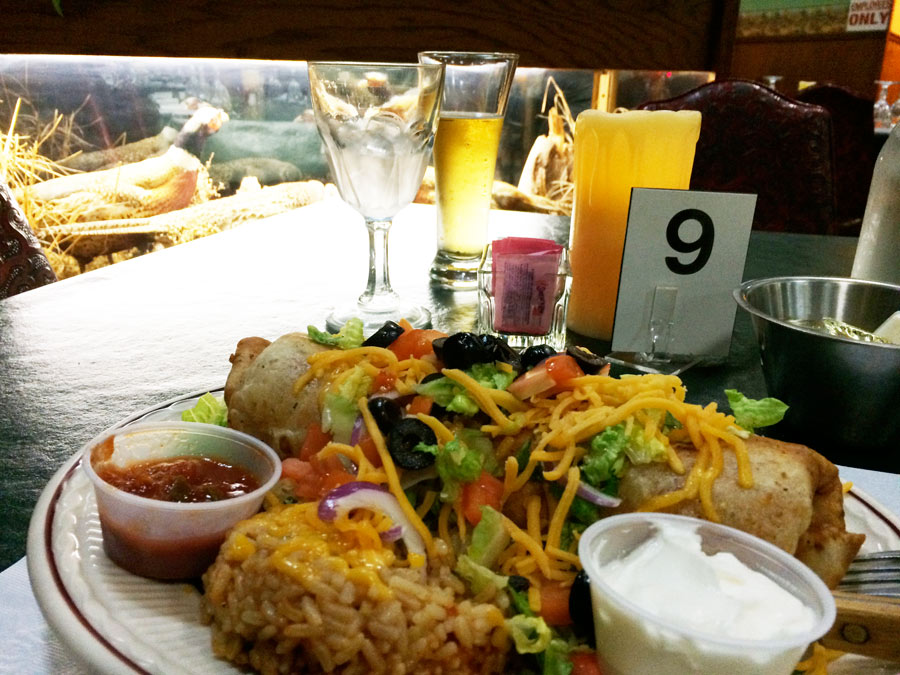
That night I ventured down-town Park Falls and found a great little ‘Supper Club’, ‘AJ’s Bar and Dining’. It was the classic Wisconsin Supper Club layout – well stocked cocktail lounge, open-plan dining area and a soup/salad bar for your dining pleasure.
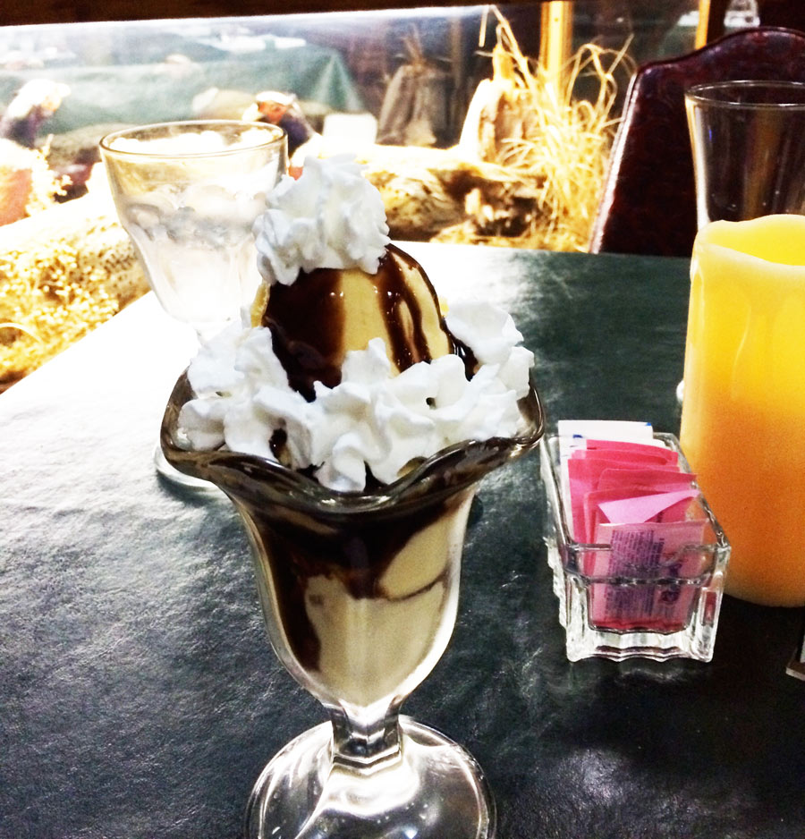
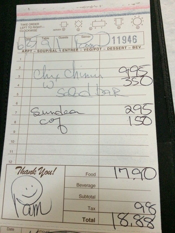
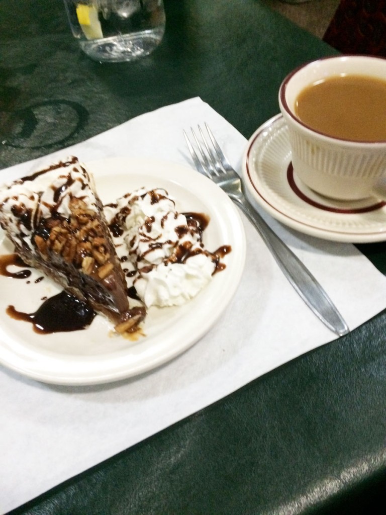
It was excellent. I started off with a Mexican beef soup and a large mixed salad, then the Chimichanga plate, followed by a Sundae and a pot of coffee. I couldn’t believe the bill – less than $20!
DAY TWO
Friday morning I was awakened around 5am by the sound of some dodger warming up his diesel truck in the parking lot. I’d set my alarm for 6am, so I wasn’t too upset at getting the earlier wake-up call.
I was en-route to Hayward by 6am and seated for breakfast at a nice family diner in down-town Hayward WI by 7.30am.
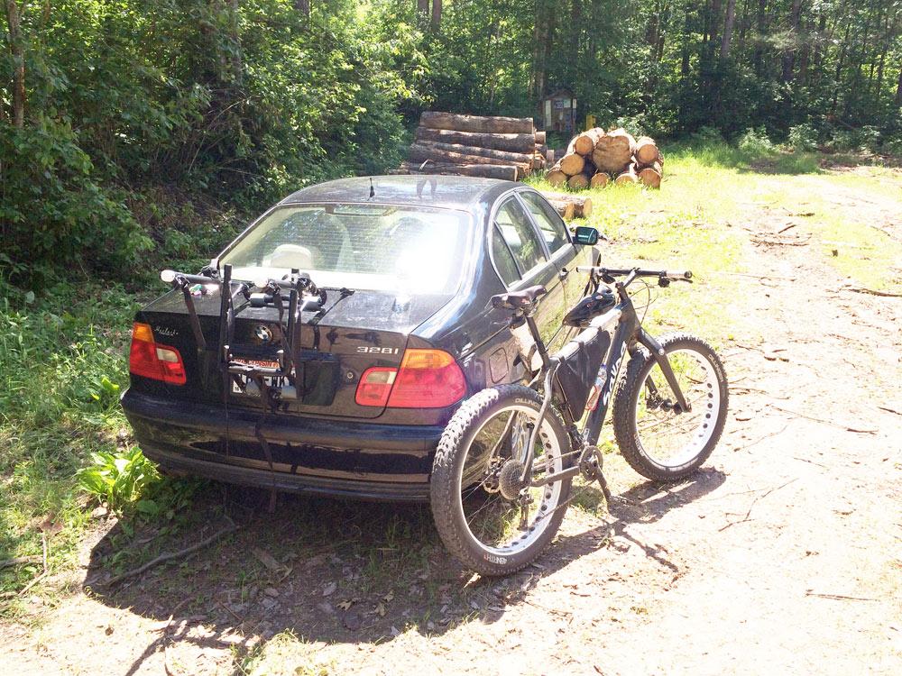
After collecting supplies and spending time with the maps, I drove the 10 miles out of town to Gravel Pit Lane, my chosen Trail-Head for entry to the Hayward Trail Cluster.
I’d actually purchased official Camba Maps about six months earlier so I had a good idea of the layout and routes etc. Basically there are seven main trail ‘clusters’ –
You can click any of the above links to see trail information at the official CAMBA website. (Chequamegon Area Mountain Bike Assoc.)
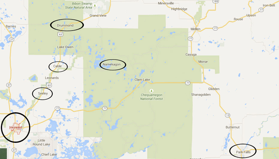 The above map shows 5 trail clusters along with my base at Park Falls off to the right.
Despite having maps well ahead of time, I’d done very little planning. The opportunity for the trip had sprung at the last minute, and my approach to the trails and which to ride was dictated by proximity to accommodation, time available etc, so it was pretty much a case of making it up as I went along.
Each of the main trail clusters is comprised of individual trails of varying length, terrain and degrees of difficulty, each beginning at a designated Trail Head. The trails are adequately described on the CAMBA website and on the official CAMBA maps too, so I picked the Gravel Pit Trail Head at the Hayward Cluster as my starting point.
From the Gravel Pit Trail Head, 5 trails were accessible – I’ve included descriptions taken from the CAMBA website for the first three trails below so you can get a feel for what information is provided:
Bar Stool Trail – Distance: 6.2 Miles
Difficulty: Easy
Trail Type: 70% two track, 25% dirt road, 5% shared ATV trail
Description: Old logging roads and firelanes.
Makwa Trail (North to OO) – Distance: 7.2 miles point to point
Difficulty: Intermediate
Trail Type: 100% single track
Description: Twisting, climbing, moderate technical challenge, super-flowy trail. A CAMBA favorite.
Makwa Trail (South to Mosquito Brook) – Distance: 5 miles point to point
Difficulty: Intermediate
Trail Type: 100% single track
Description: Twisting, climbing, moderate technical challenge, super-flowy trail. A CAMBA favorite.
Plantation Trail
Trail Descente
And so after taking a while trying to figure out where to park, I geared up, lotioned up and set about exploring the trails.
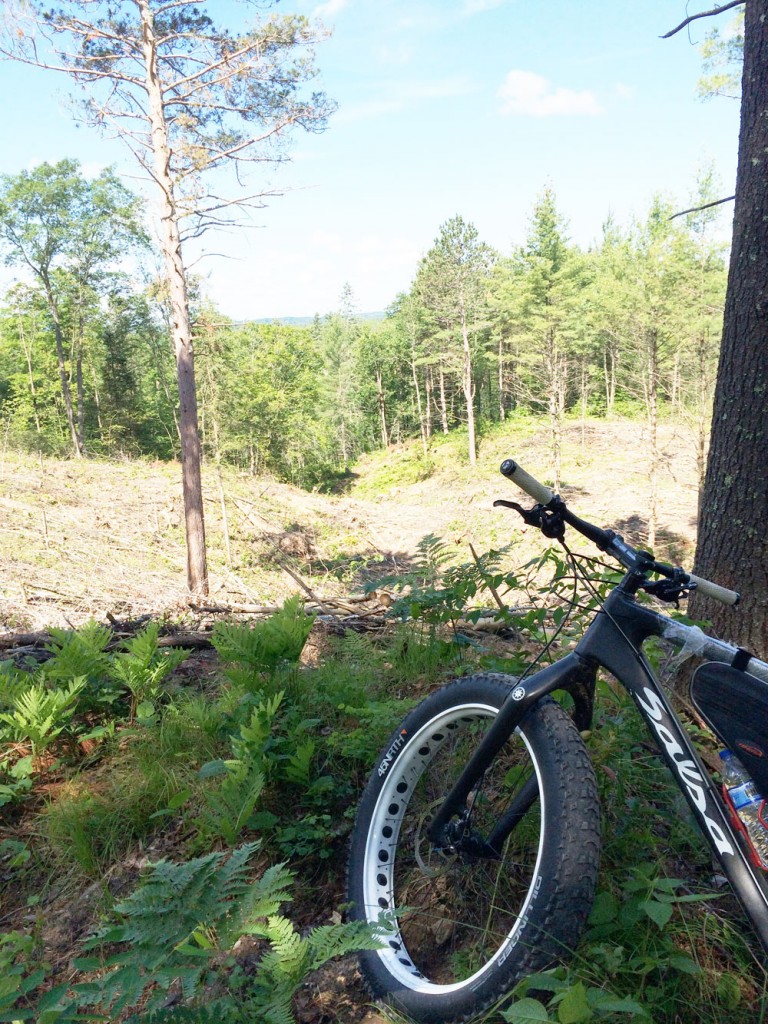
It was a no-brainer as far as choice of ride – Salsa Beargrease Fat Bike.
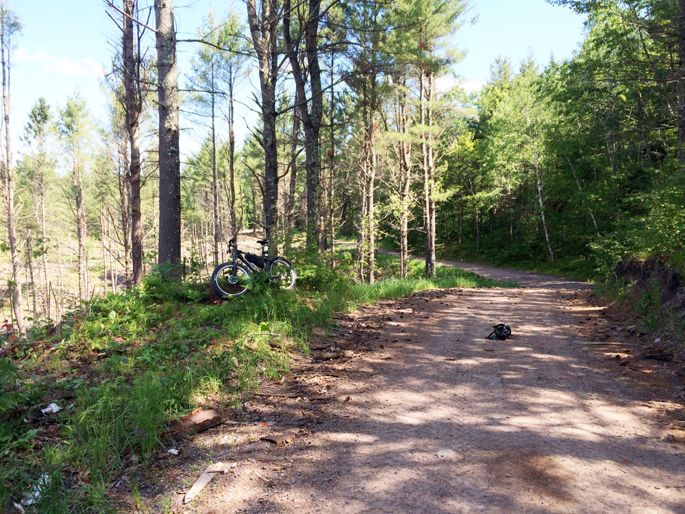
I started the ride basically scouting the area by riding the dirt/gravel roads which interlink the various trails. The area was well marked, both the trails and the interconnecting roads. There were even a couple signs off to a local watering hole and bike rental/repair business.
After an hour or so of riding dirt/gravel I ventured into the woods and tackled the first ‘Intermediate’ trail, the ‘Makwa’. It was windy-twisty up-down through deep/thick vegetation/trees. I wasn’t unhappy when I emerged unscathed at the other end and back onto the more comfortable dirt track/road.
I concluded later in the ride that the Salsa Beargrease, or any Fat Bike for that matter, is made for this type of riding. With tire pressures set somewhere between 6 and 8 psi, it soaked up all of the rocks, roots and other hazards with aplomb. The only downside is switching between single-track terrain and gravel roads and finding a good compromise with tire pressure. It would be nice to run above 10psi on gravel/dirt, then drop down to 3 or 4 psi for roots and rocks. But it isn’t practical to stop and re-inflate tires as it takes too much time and effort with a small hand-pump.
But otherwise the lightweight Beargrease sails over rough single-track and gives the rider the maximum amount of confidence in the quest not to come unstuck! I could NEVER have tackled this trip on the Salsa Warbird gravel bike.
After a couple of hours tooling around the dirt roads and dipping my toes in the trail waters, I started to feel a little ‘spooked’. I hadn’t seen another person since I drove out of Hayward several hours earlier and the isolation was starting to fuel my imagination. There had been several warnings about black bear and one guy at the local bait shop where I’d picked up supplies after breakfast had warned about riding the trails alone.
I was also becoming preoccupied with thoughts of a mechanical failure that might leave me stranded. A broken chain or a snapped derailleur could’ve necessitated a long, long hike through the woods with only a minimal supply of water on hand.
At one point I pulled over for a rest and I noted that my iPhone was showing ‘No Service’. It remained without signal each time I checked it during the course of the day. It was the same with Google GPS – No Service Access. So all of this, plus the wildlife risks, were beginning to weigh a little heavily and take the edge off my enjoyment just a tad.
I suppose on reflection I’d expected to see some people out there, riding around, like me. I didn’t see another soul until late that day when I was loading the bike ready to head off back to the hotel. Two other guys on mountain bikes rode past looking for one of the trail heads, ready to begin their adventure in the woods.
I guess I was fine riding the dirt fire roads, but venturing deep woods on technical trails was a little unnerving. Particularly given my attitude towards wildlife beginning with the letter ‘S’, and other more furry animals which I’d never actually encountered before during my rather sheltered and pampered existence.
It was overall, enjoyable. But around 4pm I was hot and tired and ready to load up and head back to Park Falls for a long cool shower at the hotel.
That night I explored a little more of downtown Park Falls including the bowling alley and a couple of colorful local taverns, then headed back to AJ’s for the fish buffet and more sweets.
DAY THREE
Saturday morning was another noisy/early start. This time I hit the road for Cable WI to try my hand at the Cable Cluster of trails.
In fact after hitting the ‘Short and Fat’ trail for a spell, and spending time fighting with insects, thigh-high grass, fallen trees and other impediments to progress, I decided to re-focus and spend more time on the dirt/gravel roads. So I headed south on a fantastic section of fire road which took me around the area, weaving and winding through the trees until finally hitting Telemark Road which I took through to the top of the Hayward Trail Cluster. I’d pretty much abandoned maps and any planning at this point, so I was a little surprised when I popped out onto the highway and recognized directions to a watering hole that I’d seen the previous day. So I ventured off down an ATV trail running parallel with the highway to find ‘Beer Bellies’ for a spot of lunch.
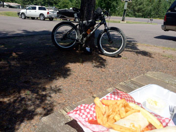
The buffalo chicken wrap was OK, a little greasy. It sat heavily on my stomach for the next two hours, at least. A big mistake to eat so much food then hop back on the bike and ride.
After lunch I rode the dirt trails back north, venturing off here and there for some shorter off-road trails including the ‘Camp 38’ trail, which was a great section of fast dirt track with man-made bridges, cambers and even some bumps over which a faster rider might have become airborne!
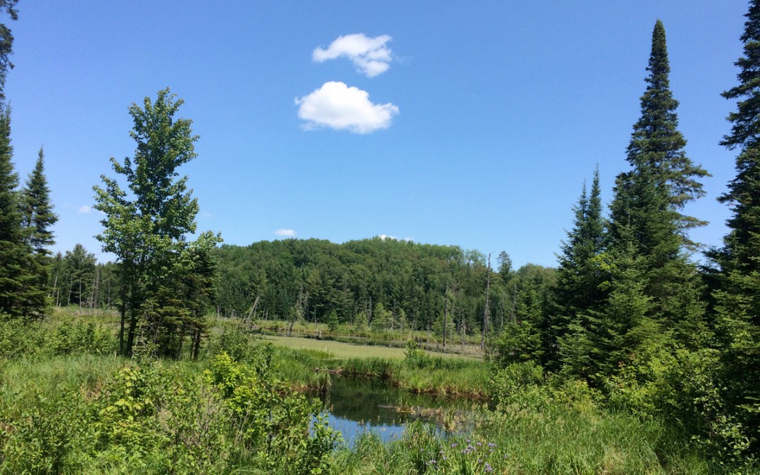
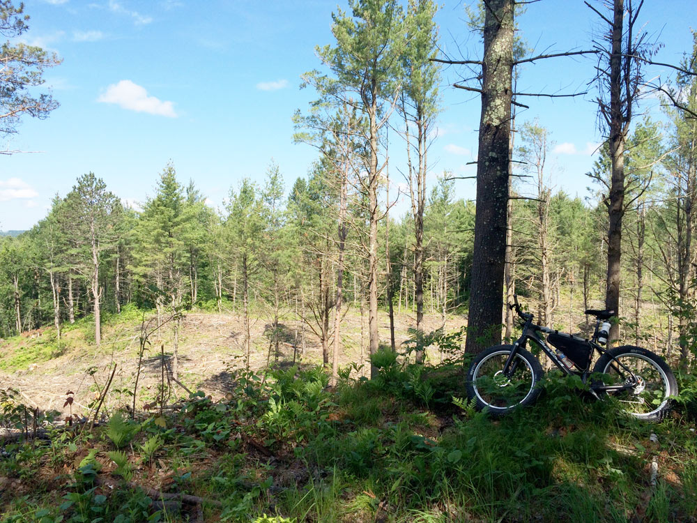
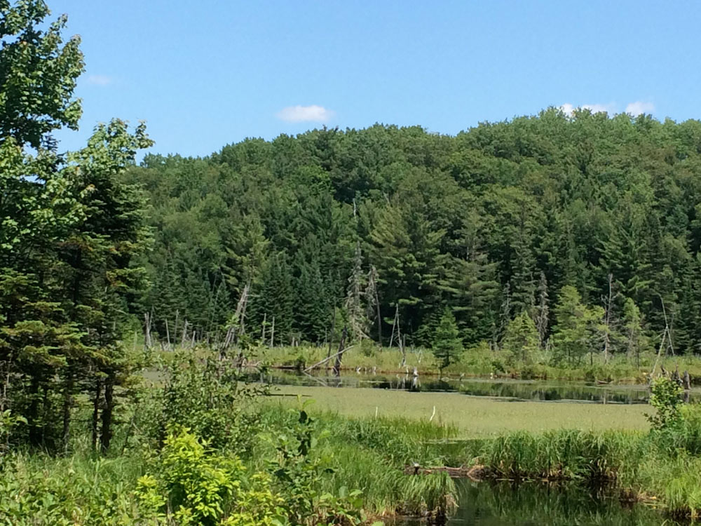
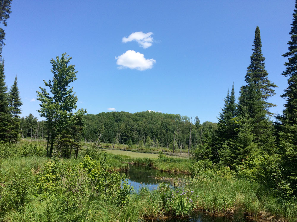
The scenery was quite spectacular; in an understated way that only Wisconsin seems able to pull off….
I took a detour down Rock Lake Road for an hour or more of hard up and down on gravel/dirt, and eventually came upon the Namakegon Lake area and the highway back to town. I’d exhausted food and water at that point so I was happy enough to use a short section of paved road to get back to the car at around 4.30 pm.
Hotel – shower – back into town, this time for some great Chinese food at a little place just a block from the hotel. Then to McDonalds for sweets and coffee and back to the hotel for my last overnight stay in Park Falls.
DAY FOUR
There really wasn’t a day 4. I’d toyed with the idea of riding for a few hours then making the long drive home later in the day. But I decided to have breakfast then get on the road home.
Overall this was a pretty enjoyable experience. The scenery is quite spectacular, but after a day or so one gets the overwhelming sensation of being ‘enclosed’ by the surroundings. Riding the trails and even the interconnecting roads one always feels part of the scenery and never really able to step back and look down upon it. There were no scenic overlooks or grande vistas, it was entirely experienced from the inside trying to look out. If that makes any sense at all!
The trails were exceptional. Though I wouldn’t recommend that anyone should try this experience unaccompanied. It was really a foolish thing to do from a safety perspective, but also, it all became a little too ‘isolated’, even for someone like me who cares less about being around other people most of the time. I think it would’ve been more enjoyable having someone else around to share this with. There, I said it.
FMB 2015

It’s pretty empty on weekdays, weekends you’ll see a lot more in August leading up to the big race in Sept., especially if you ride the FatForty course backwards. Rock Lake road is on my bucket list, if I’d a known I would have run up there; maybe you saw where the Rock Lake Trail system crossed the road in a couple spots before coming out on M? The trailhead proper is just a quarter or half mile West of Lakewoods resort on M. That’s the best one in my opinion, Camp 38 is a hoot (West to East) and the Esker close to the Telemark Lodge (called something else now I think) is nice.
I’ve run up on so many bears now I’ve lost exact count. I always thought I could put the bike between me and the bear if it did attack and fend it off…until I encountered about a 550 lb. one last year; I think it could have broken off a tube section and used it as a toothpick after finishing me off. So far they’ve all just kept going the way they were going, except for a cub that chased me for a bit; I booked as fast as possible and never saw momma.
Yes, when I’m up there I’m just another critter roaming around on Mother Nature’s forest floor. I like that because I have a good spacial awareness (at the expense of any artistic awareness whatsoever) wherein I can lose myself without ever really getting lost. Riding seemingly in the middle of nowhere without landmarks has spooked a friend or two; especially when I set off on a bunny trail with “follow me,” trailing off behind me.
Pretty much sounds like what I look for..good riding followed by good meals. Did you ride your Warbird or just the Beargrrsde?
Wow and LMAO over the bears! I think I was probably so focused on the ground ahead, to the distance of about two feet in front of my wheel, that I could’ve ridden right past a bear without noticing it. Which is probably what happened, to my good fortune!
That Rock Lake Rd section was a blast. In fact that whole stretch of road from the parking lot in Cable, south down to the Hayward Cluster, was a blast. If you ride south down Randysek road then take Camp 38 rd where it branches with Seeley Fire Tower rd, that’s a really fast/fun ride in places! I took the Lake Helena loop too, which added a few miles, though I never actually saw the lake…
Then coming back from the Hayward Cluster on Telemark, I rode past the Rock Lake rd turn, rode the Camp 38 trail for a while, then went back south a mile or so to get on Rock Lake rd. There’s some pretty steep climbing on Rock Lake, and some rough gravel, sand and rocks. I wouldn’t have been comfortable on the gravel bike on any of these roads!
Towards the end of Rock Lake rd, about a mile from M, I saw a trail marked ‘Epic’, that wound off into the woods. I was out of water at that point so I didn’t take it. Maybe next time.
Quite the experience.
Just the Beargrease. I thought about taking the Warbird but I’m glad I didn’t. It’s definitely mountain bike terrain, even the gravel roads were rough and rutted enough to justify some suspension!
Are you back from your trip West?
Just back from Yellowstone and now in the finger lakes region of NY. Here for a week then home. Just because we love to drive we are headed back east to horse show in Springfield, MA..
Found a really great bike shop in Geneva, NY…Trek, Giant, Specialized and some cool brands I’ve never heard of…
I was up there camping last August. Did you consider camping? You can get much closer to the trails and Namekagon area puts you central for all the trails pretty much..
Camping. After 22 years as a ground pounding Marine I decided to never sleep on the ground or in a tent again. But I do agree, some pretty cool spots to stay in that forest
Yeah I thought about it Gary. I don’t have a very good track record for getting a good nights sleep in a tent. The last time out was just darned miserable. So I figured with this being a kinda ‘special’ trip for me, and the amount of driving involved etc, that I didn’t want camping to take the edge off it.
Plus the hotel was so cheap, and the shower so warm, and the bed so soft… 🙂